

Catch The Slope
We conduct studies on any type of surface (natural or anthropogenic) and process (earthmoving with machinery, erosion, or cracks in vertical walls) to quantitatively monitor the progress of the work undertaken or anticipate cases that might lead to landslides and severe erosion processes.
Precision Surveying Service in Complex Landscapes
We conduct studies on any type of surface (natural or anthropogenic) and process (earthmoving with machinery, erosion, or cracks in vertical walls) to quantitatively monitor the progress of the work undertaken or anticipate cases that might lead to landslides and severe erosion processes.
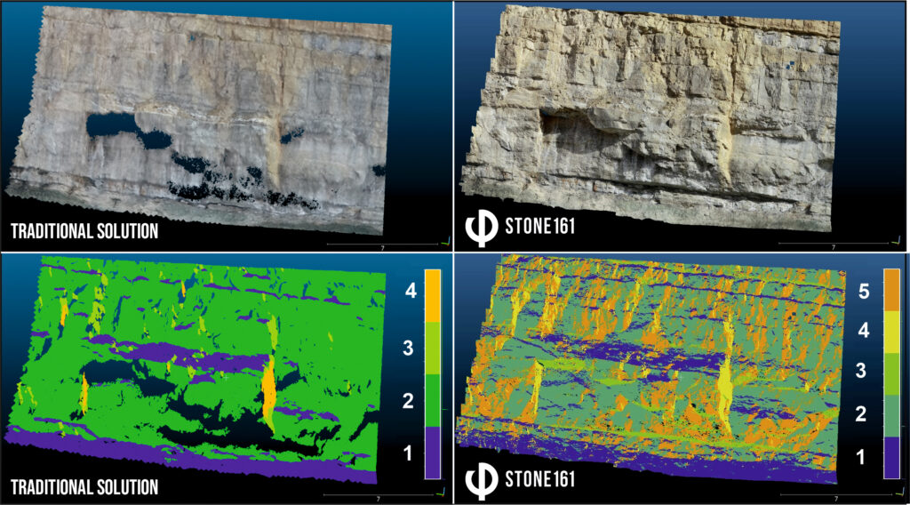
Example of Comparative Precision Study
Scientific Approach
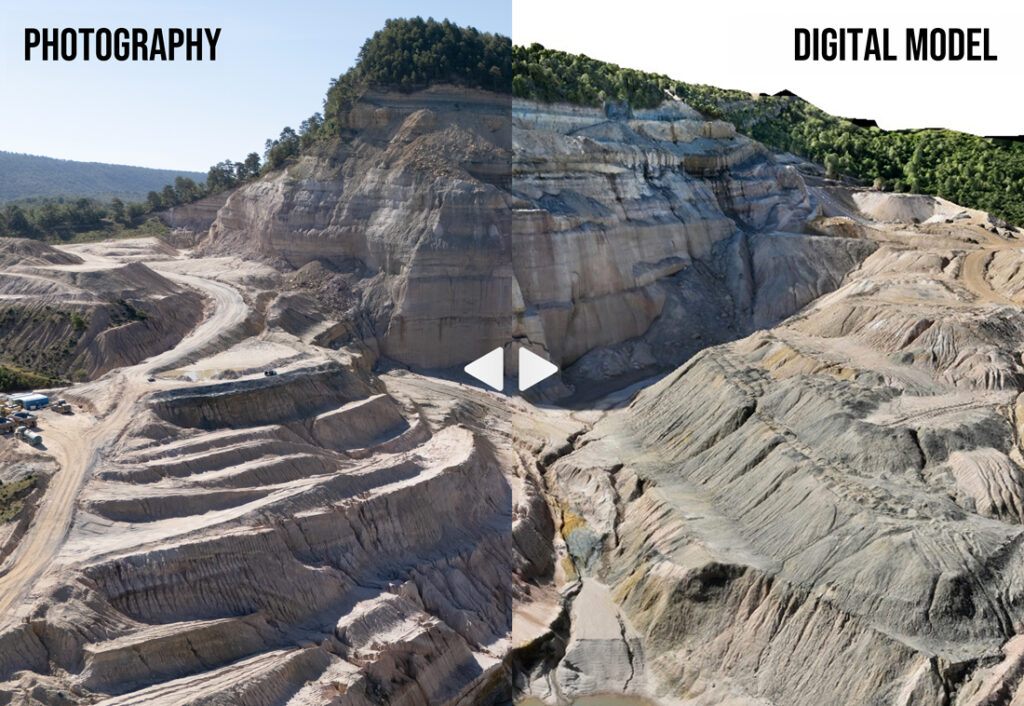
We apply the latest scientific knowledge both in data collection and subsequent analysis. Our approach enables the creation of topographies as “digital twins”, achieving a real and precise process of surface digitization.
Scientific Approach
We apply the latest scientific knowledge both in data collection and subsequent analysis. Our approach enables the creation of topographies as “digital twins”, achieving a real and precise process of surface digitization.
Topographies with Drones
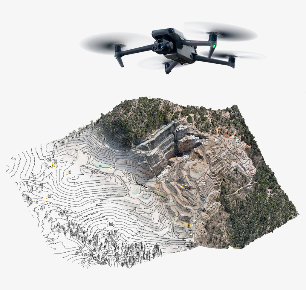
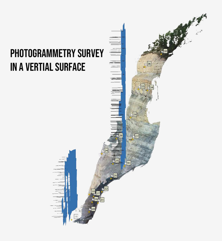
To obtain topographies, we perform photogrammetry using photos taken with drones equipped with RTK and processed with Agisoft software. Depending on the context, we also work with LiDAR sensor data and other equipment such as differential GPS or total stations.
Key Partners
We collaborate with two key partners with extensive experience in the mining sector, DGDRONE and DDM, to offer a high-quality service.
Subsequent Analysis
We perform various analyses to obtain data such as: volume of waste/mineral moved/extracted, volume of eroded/deposited earth, or number and characteristics of cracks likely to develop into instabilities.
Topographies with Drones
To obtain topographies, we perform photogrammetry using photos taken with drones equipped with RTK and processed with Agisoft software. Depending on the context, we also work with LiDAR sensor data and other equipment such as differential GPS or total stations.
Key Partners
We collaborate with two key partners with extensive experience in the mining sector, DGDRONE and DDM, to offer a high-quality service.
Subsequent Analysis
We perform various analyses to obtain data such as: volume of waste/mineral moved/extracted, volume of eroded/deposited earth, or number and characteristics of cracks likely to develop into instabilities.
Quality and Experience in Precision Surveying
The quality of our work is based on the use of the latest scientific advances, both from our research and from the scientific community. Two of our methodologies have been published in prestigious international journals such as Remote Sensing and Engineering Geology and have contributed to improving traditional surveying procedures in mining areas, increasing resolution and reducing errors to 9 mm, and improving crack detection mining highwalls by 93.5%.
Unique Features of Catch The Slope
- Data processing is fully updated with the latest scientific advances, to provide high-quality work at accessible costs for SMEs, thereby enhancing the efficiency, sustainability, and success of their projects.
- Our topographies are based on collaboration with DGDRONE, a company specializing in drone photography in earth-moving areas, certified and capable of obtaining flight permits nationwide.
- We conduct rigorous accuracy evaluations in all our measurements, as well as detailed uncertainty analysis. This ensures that small and medium-sized enterprises can plan and make decisions based on reliable information, minimizing risks and maximizing project effectiveness.
>100
Work on Nearly 4000 Hectares